
Perez Zeledon
Perez Zeledon is the largest canton in Costa Rica and covers a large area in the Southern Zone Perez as the locals call it is home to the world famous Mt Chirripo which is the tallest point in Costa Rica at mor...


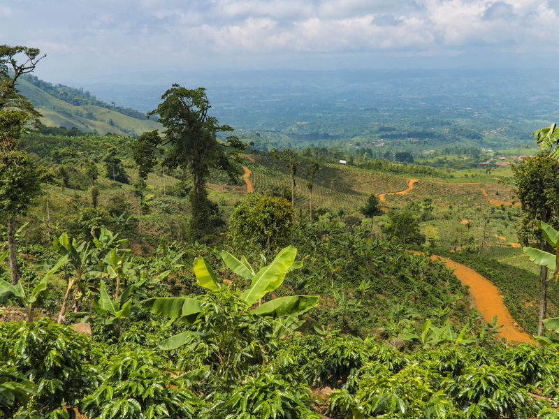


Perez Zeledon is located in the Southern Zone and features the major hub of San Isidro de El General San Isidro is the largest city in the South and is a regional hub for business tourism and agriculture Use our map of Perez Zeledon Costa Rica to locate the world famous Mt Chirripo which features views of both the Pacific and Atlantic Oceans Chirripo is the largest peak in Costa Rica at more than 3 800 meters
Travelers can get to San Isidro and Perez Zeledon by taking the Pan American Highway south from San Jose through Cartago then over the Cerro de la Muerte which is a climb of over 12 000 feet then back down to 3 000 feet in the Valle del General which you ll see here on our Perez Zeledon map Be sure to plan your route ahead of time You may decide to take the Coastal Highway south through Jaco Quepos and down to Dominical where you ll find a short drive through the mountains to reach San Isidro de El General Perez Zeledon Costa Rica google map


